


“The Start of Climbing Season in Fujisawa: Ascending Mt. Fuji Through Ukiyo-e”
Exhibition Contents
Enjoy an early start to Mt. Fuji’s climbing season by viewing ukiyo-e prints depicting the iconic mountain—an essential motif in landscapes depicting the Fujisawa region—by artists such as Utagawa Hiroshige and Utagawa Sadahide, along with bird’s-eye views by Yoshida Hatsusaburō. The exhibition will also explore the history of pilgrimages to Mt. Fuji that reached a peak in the late Edo period.
The series Fifty-three Stations of the Toukaidou Corner
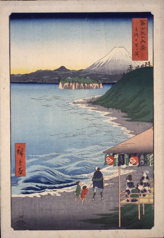
Shichiri-ga-hama Beach of Sagami Province, from the series Thirty-six Views of Mt. Fuji
Fujisawa Inn Corner
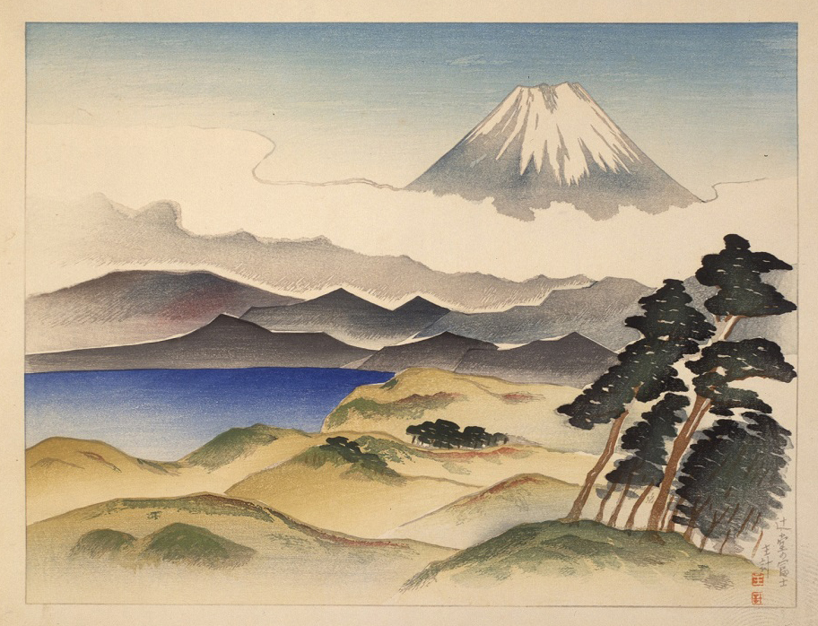
A View of Mount Fuji From Tsujidō
Enoshima Corner
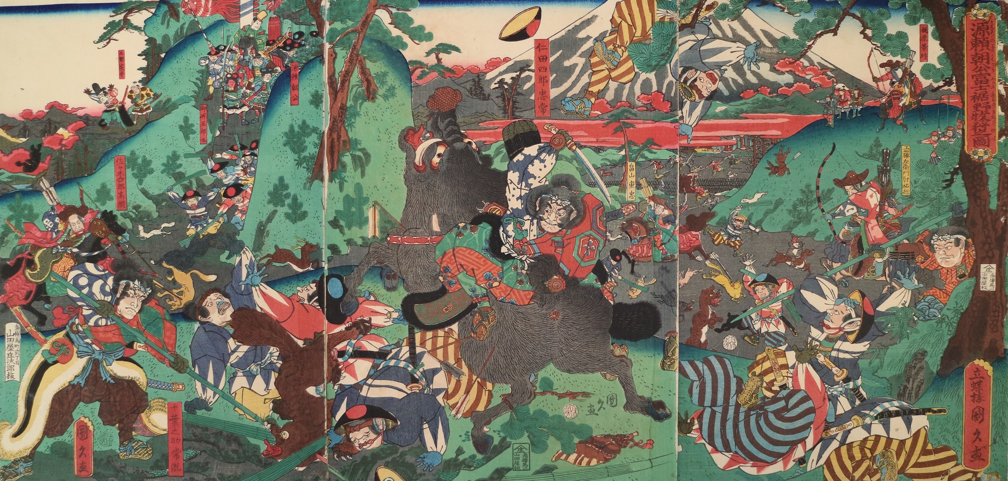
The Great Hunt at the Foot of Mount Fuji by Minamoto-no-Yoritomo
Special Exhibition Corner
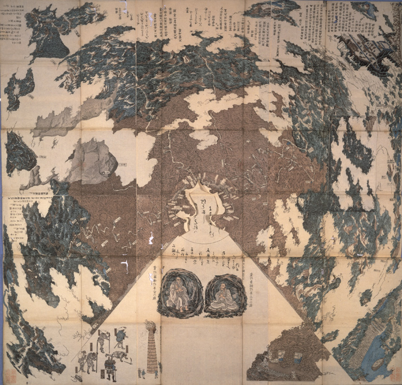
True View of Mt. Fuji